Adventure of The Month: Ptarmigan Ridge
Quick Synopsis
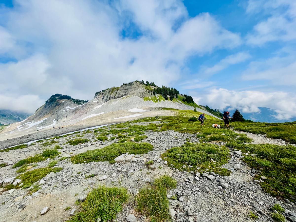
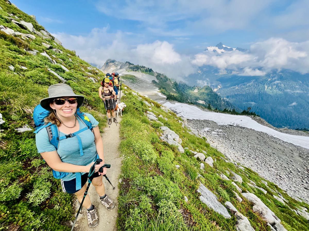
This hike is one of my favorites for its easy access (if you don’t mind crossing the border these days)! It’s in the Mt. Baker Wilderness of NW Washington near the North Cascades National park. In my opinion it is one of the best hikes within a few hours drive of Tsawwassen. It offers continuous glacier and mountain views right from the parking lot, and its southbound access bypasses city traffic, making it a fantastic late-summer trip.
Quick States
- Distance: ~14.5 km round trip (full route, only 12km if you turn around near Coleman Pinnacle)
- Elevation Gain: ~550m
- Highest Elevation: ~1860m
- Trailhead Elevation: ~1550m
- Time Required: 5–7 hrs
- Trail Type: Out and Back
- Dog Friendly: Yes (on leash)
- Difficulty: Moderate (WTA rates it Moderate/Hard due to terrain, altitude, and lingering snowfields).
- Parking Pass: Northwest Forest Pass (Required)
Trailhead & Driving Logistics
Driving Directions from the Lower Mainland, BC
- Cross the border at Peace Arch, Pacific Highway, or Sumas–Huntingdon.
- Follow your route to the Mt. Baker Highway, winding east past the ski hill, and eventually up to the Artist Point Parking Lot just past the Mt. Baker ski area.
- Approximate Driving Time: 2.5 hours from Tsawwassen.
- The final section from Heather Meadows to Artist Point is seasonal, usually opening between late June and mid-July depending on snowpack.
Parking Pass Information
A Northwest Forest Pass is required for parking.
- Cost: Day pass (USD $5) or Annual pass (USD $30).
Where to Buy:
- Online through the US Forest Service Passes Page
- Glacier Public Service Center (safest in case the lodge isn’t open)
Mt. Baker ski lodge
Facilities
The hike begins from the large paved parking lot at Artist Point, which offers vault toilets and bear-proof garbage bins. There is no potable water at the trailhead.
- Tip: Fill up at the Glacier Public Service Center Ranger Station or the upper parking lot at the Mt. Baker Ski Area.
- The parking lot fills very early on summer weekends—often before 8am in peak season.
Trail Conditions, Seasonality, and Difficulty
The hike is physically moderate, but has some mild exposure and steep terrain as the trail follows the top and sides of Ptarmigan Ridge heading in the direction of the amazing glaciated Mt. Baker. It’s an alpine hike so be prepared that the weather can be varied, windy, and somewhat unpredictable. Best to go in good weather. Spotwx is a fantastic resource for weather information: https://spotwx.com/
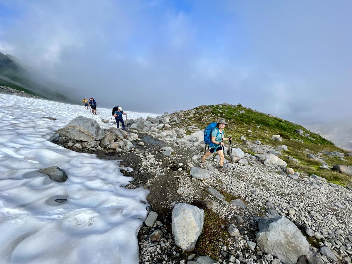
Mt. Baker set a world record for snowfall in 1998-99 (95 feet / 29 meters), meaning snow lingers well into summer.
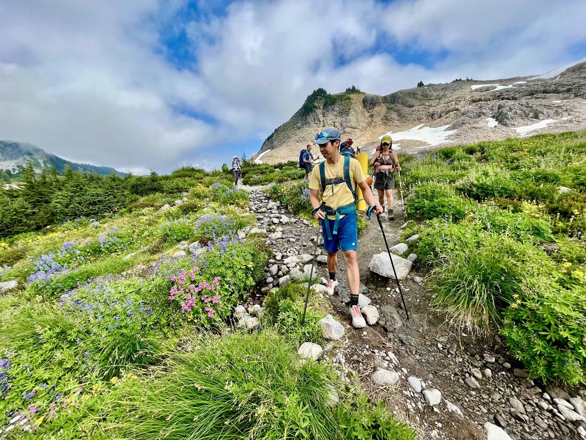
- Expect Snow: If you hike in the early summer (sometimes even in late August), be prepared for compact snow, potentially requiring microspikes, and gaiters. You’ll definitely want hiking poles.
- Prime Season: The sweet spot is typically mid-August through September. By late September, fall alpine colors enhance the appeal.
Terrain and Exposure
The trail is not technical or a scramble, but it cuts across steep, exposed slopes along Ptarmigan Ridge.
- Hazards: High elevation, little shade, strong sun/wind exposure, and sections with some exposure (especially near the Portals east at the very end of the trail).
- Difficulty Threshold: The first ~6 km are suitable for most experienced hikers. Don’t feel like you have to go right to the end of the trail as the area around the Coleman Pinnacle makes a satisfying finish. Once past the Coleman Pinnacle, the trail becomes rougher, steeper, and more mountaineering-oriented as it approaches the Portals East. Most day hikers turn around at this point.
Recommended Gear
Carry extra layers and plenty of water, as weather changes quickly and reliable water sources are limited.
- Key Trail Gear: Navigation (GaiaGPS/AllTrails), battery pack, first aid, and layers for wind/rain. Check out AdventureSmart: 10 Essentials for more details.
- Strongly Recommended: Hiking poles, Supportive footwear with decent tread.
- Potential Need: Microspikes (if snow remains on steep slopes) and a water filter or purification tablets (to safely use creek/snowfield water).
What Makes This Hike Special
Highlights include:
- Massive, close-up glacier views of Mount Baker.
- Views of Mount Shuksan.
- Alpine meadows and wildflowers.
- Wildlife spotting (marmots, pikas, and mountain goats).
- Constant ridgeline scenery starting immediately from the high-elevation trailhead.
Goat Lake: Trail Extension & Camping
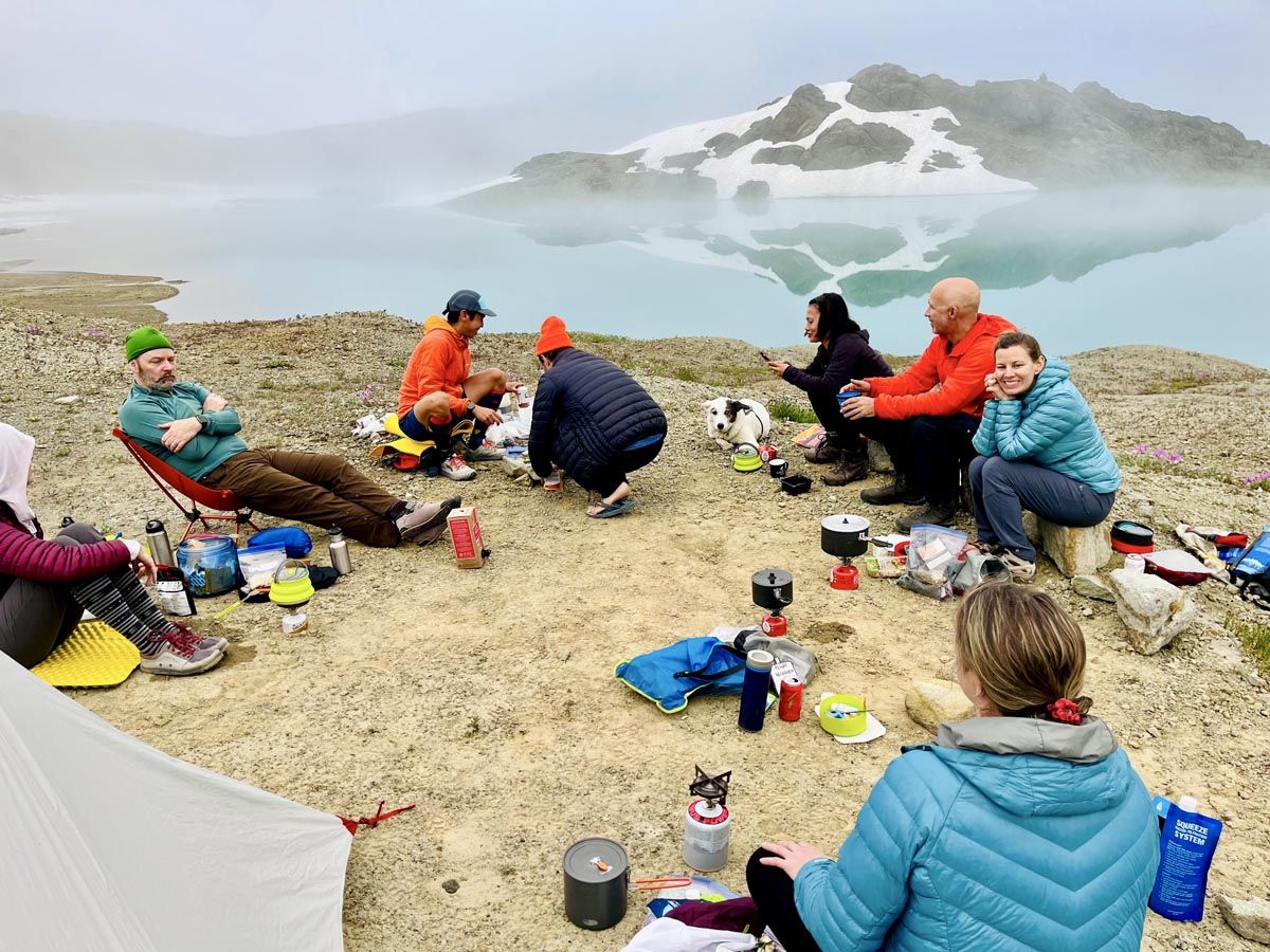
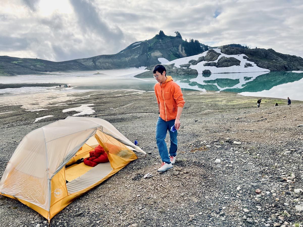
At approximately kilometer 5.2, Goat Lake can be accessed via a descent down loose slopes to the south. This makes for an exceptionally beautiful overnight campsite.
Essential Camping Logistics (Leave No Trace)
To preserve this pristine environment:
- Mandatory Waste Removal: There are no facilities at Goat Lake. Human waste must be packed out to prevent contamination.
- Blue Bag Required: Obtain a “blue bag” for human waste disposal at the Glacier Public Service Centre Ranger Station before your trip.